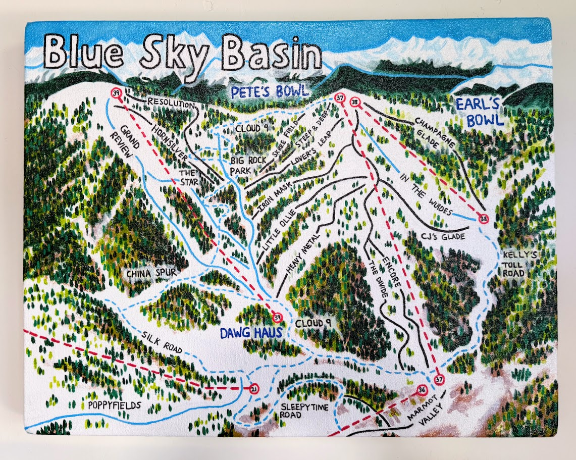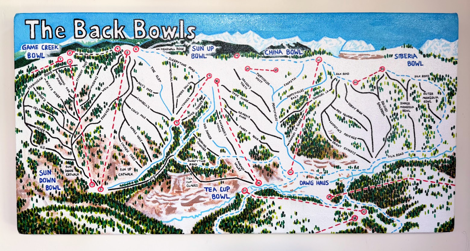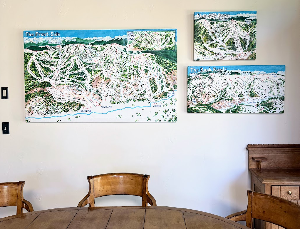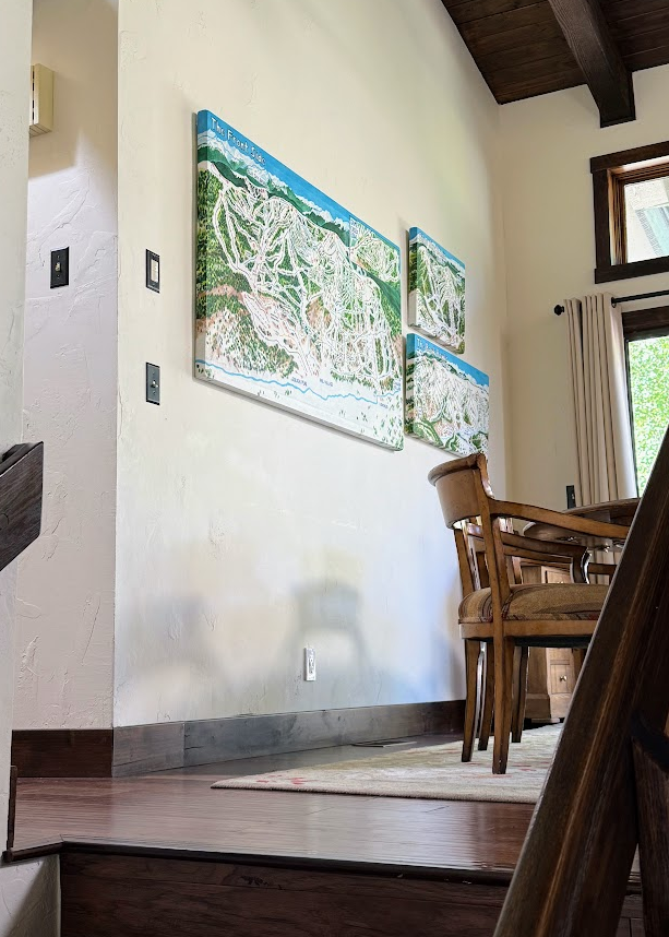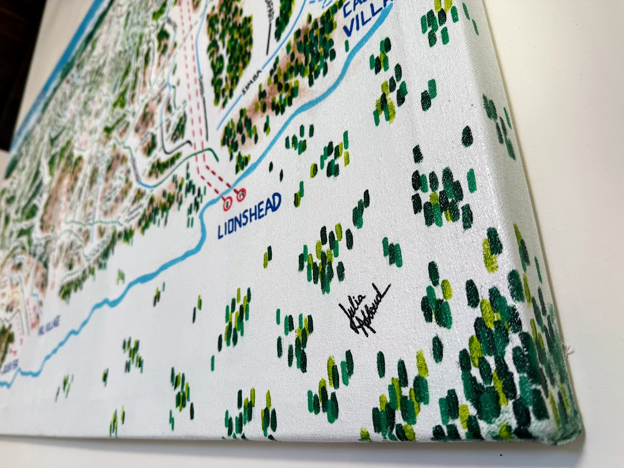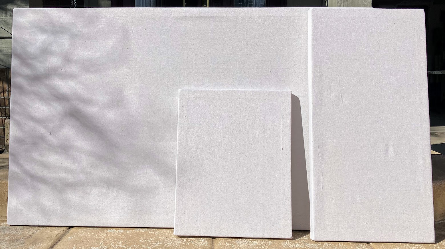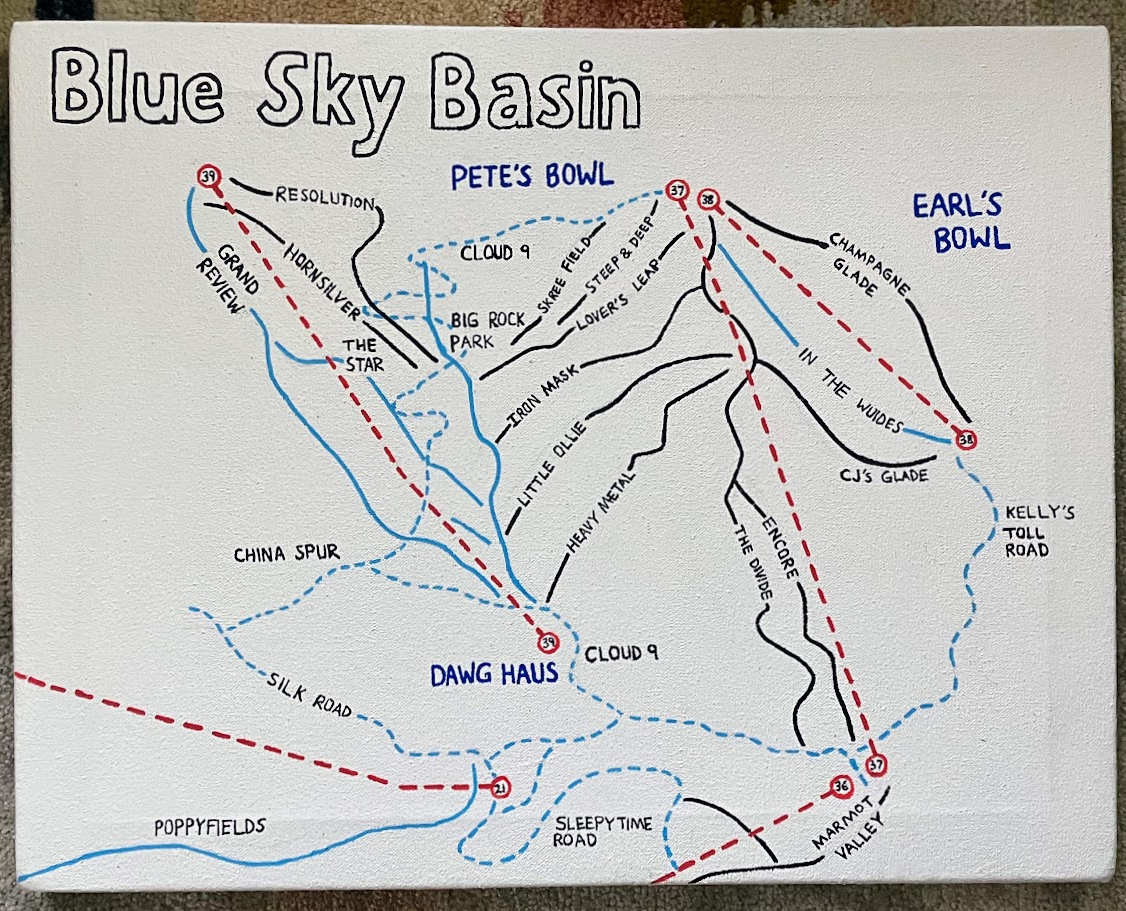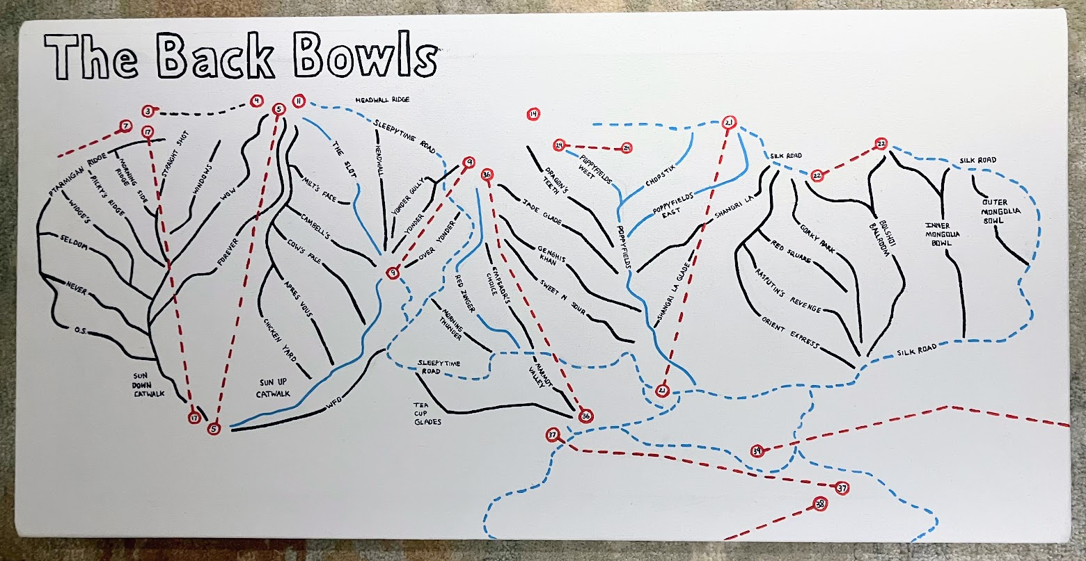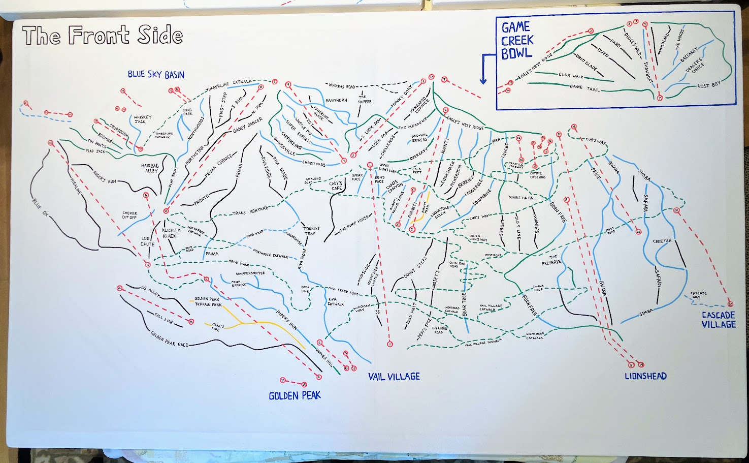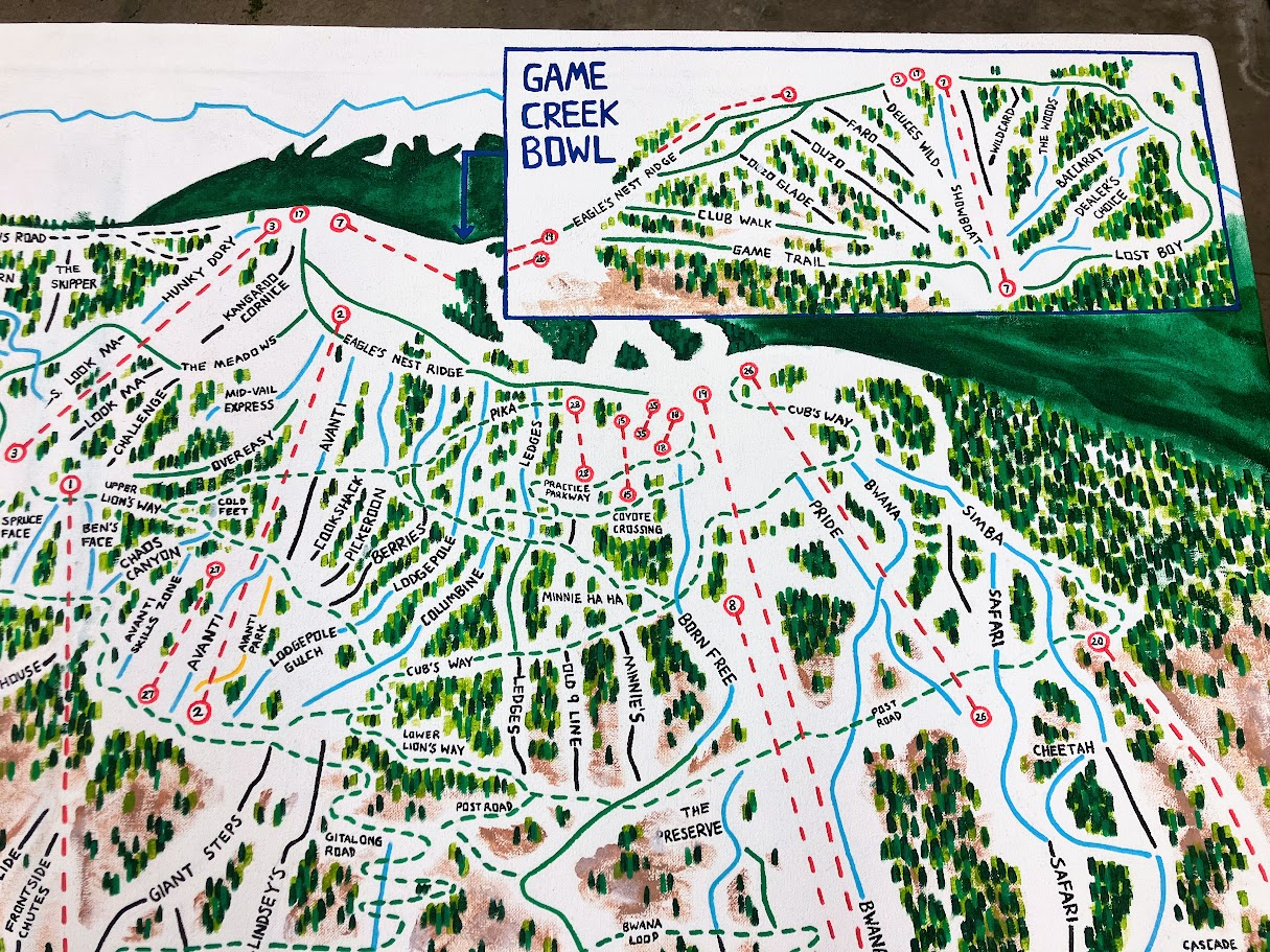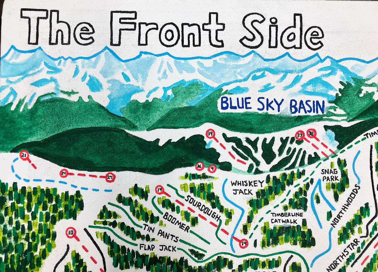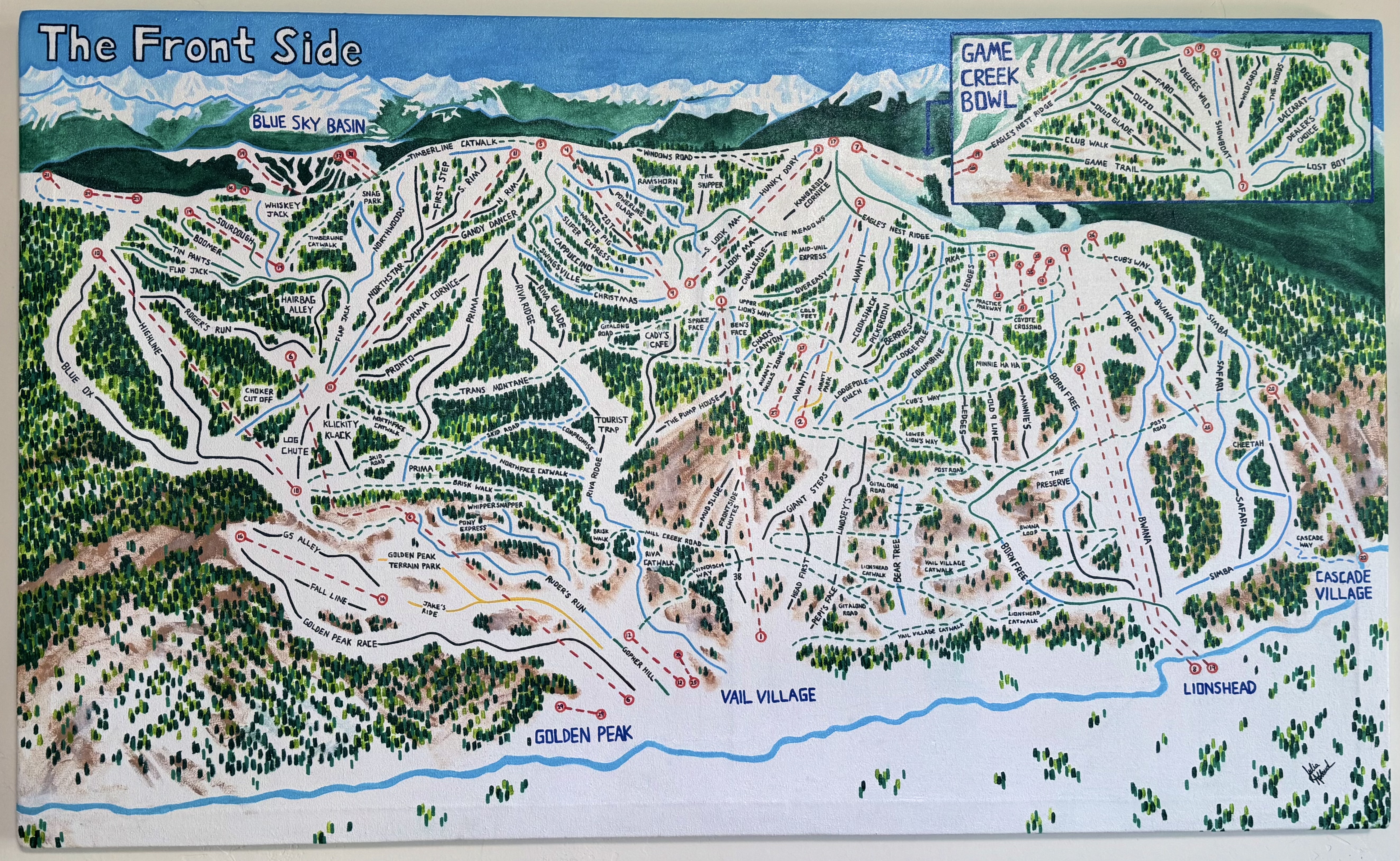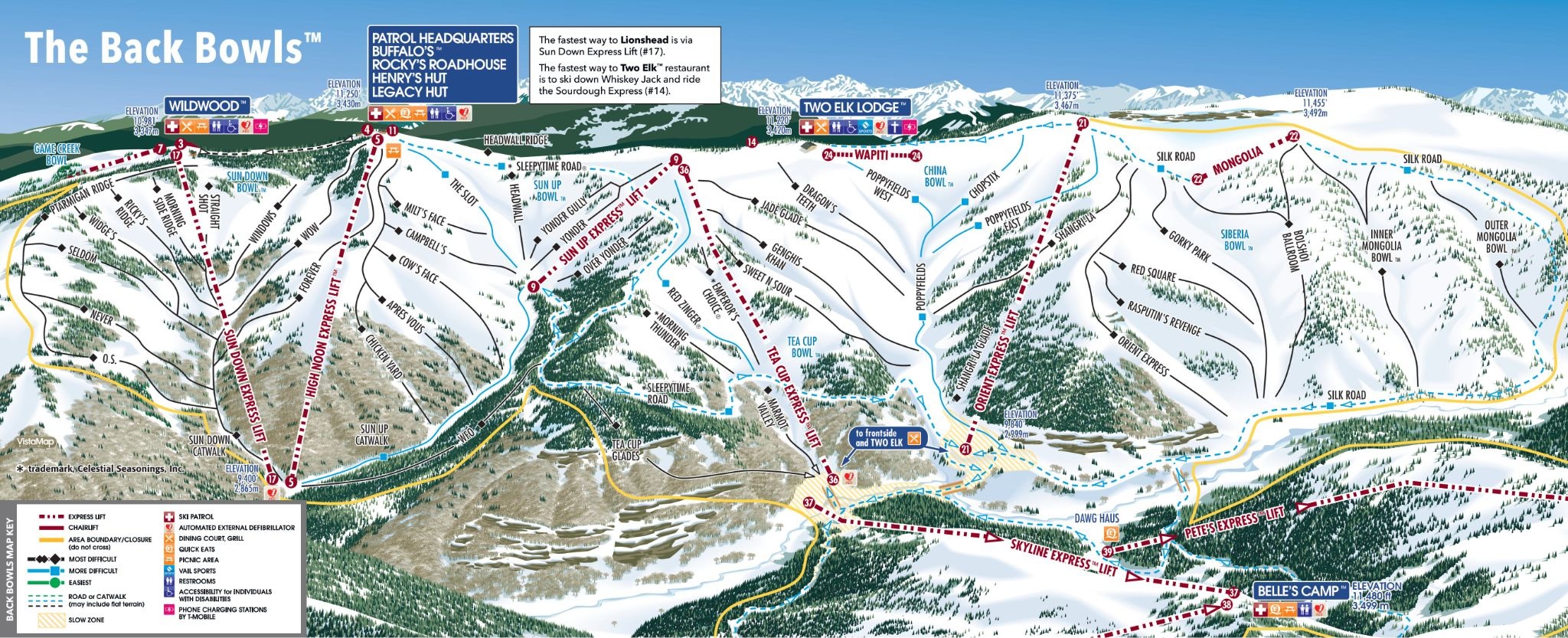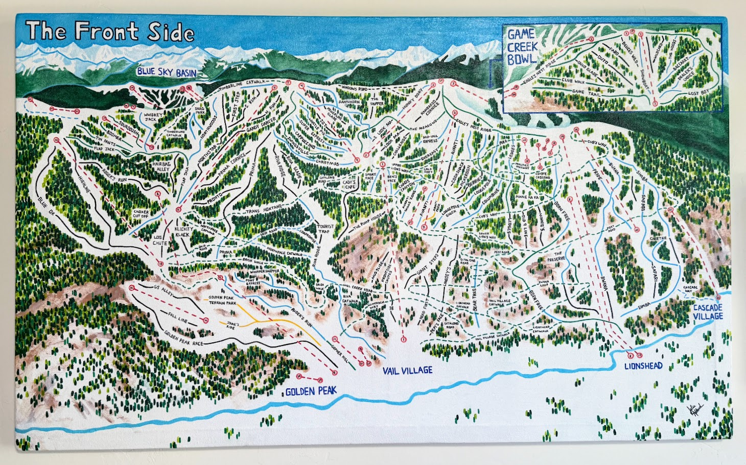
Final Product

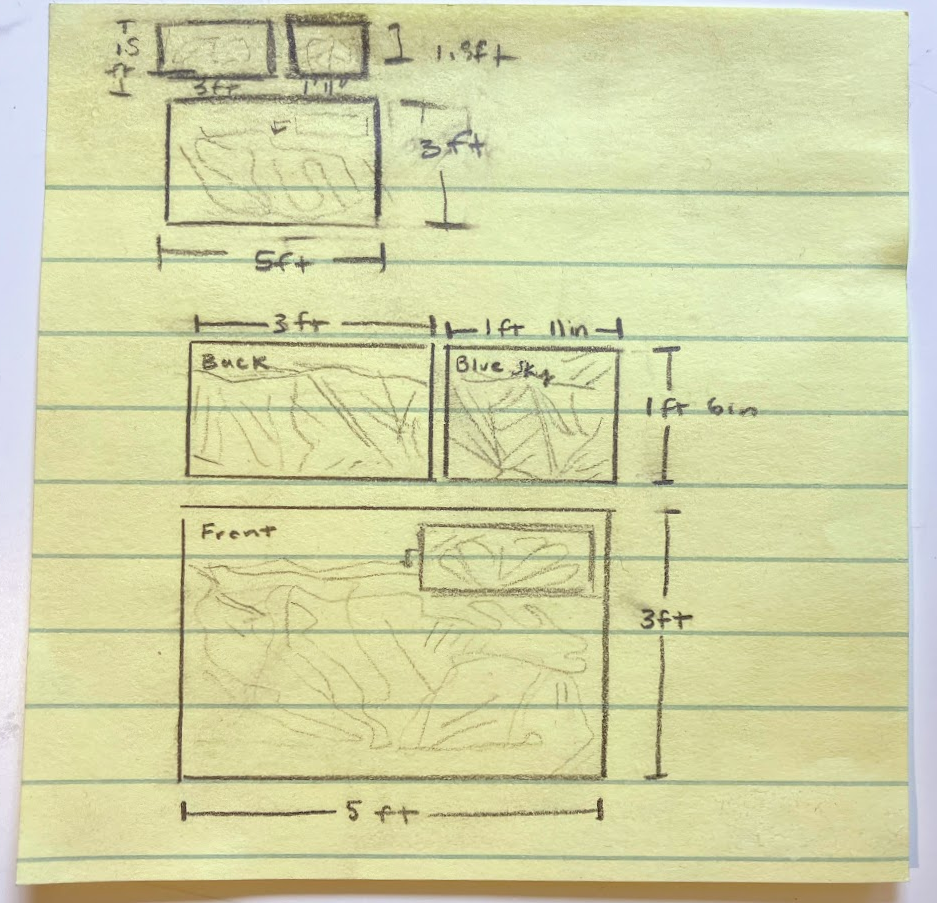
The initial vision for these maps was quickly drafted on a sticky note that became my project guide and final dimensions.

Process Explained
1

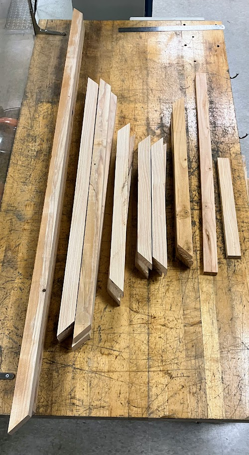
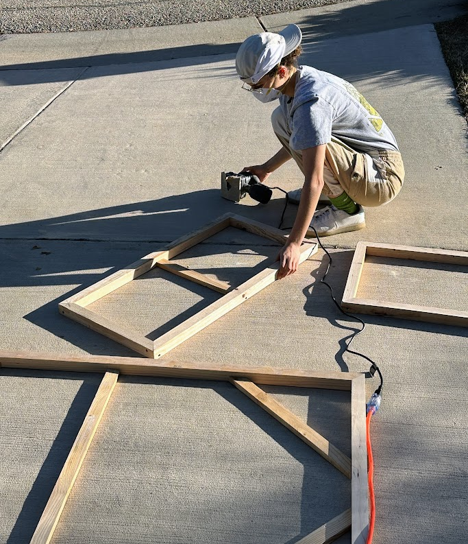
I began by cutting all the wood to size using a miter saw to make 45° ends.

2

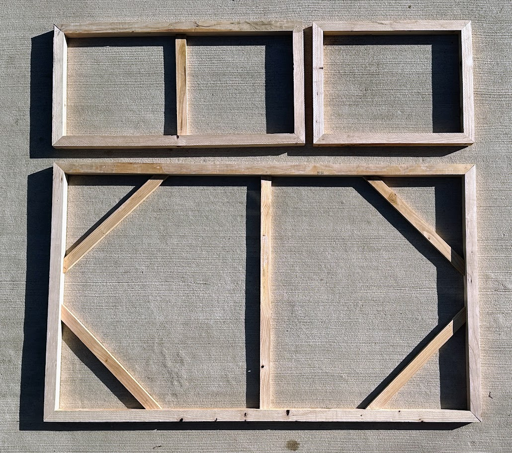
All frames were assembled using screws and a hand drill.

3

I used a hand sander to round all the edges which would be in contact with the canvas.

4

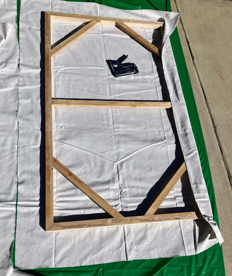
Canvas drop cloth was cut to size, stapled in tension, and trimmed internally.

5

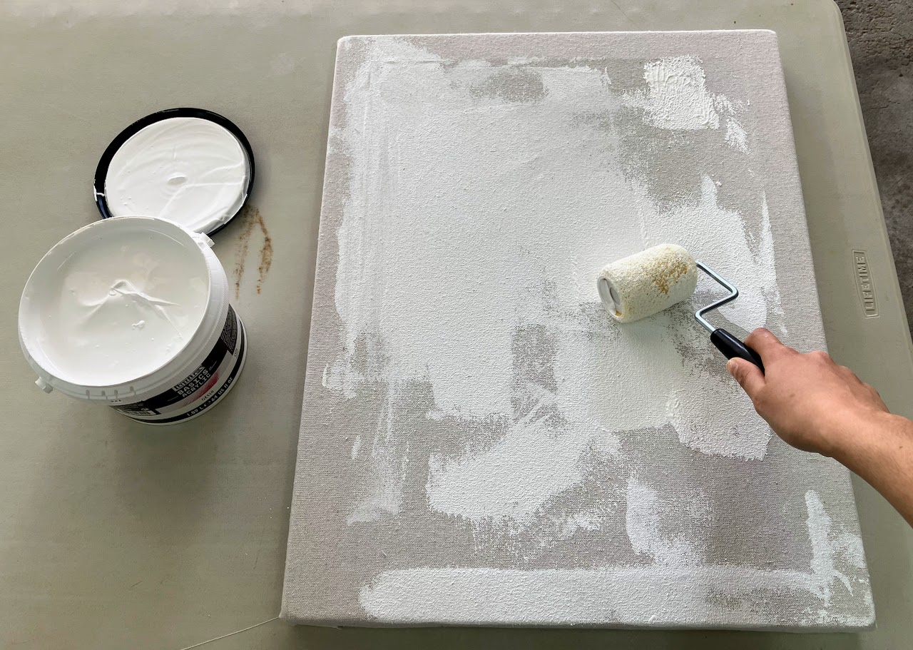
The canvases were prepped for painting with white gesso which also tightened the fabric.

6

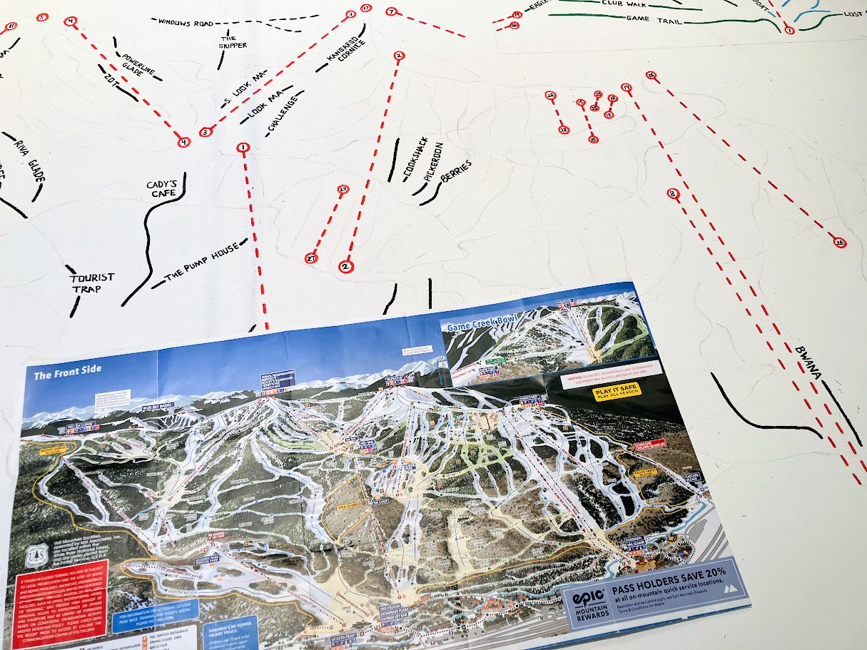
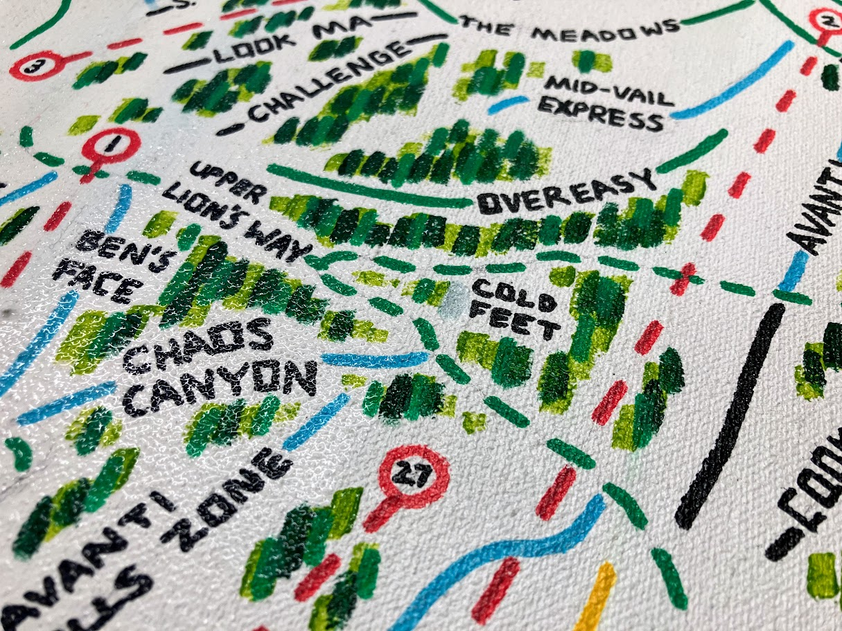
Once properly dried, I used a ruler, pencil, and Posca pens to translate a copy of the paper map onto the canvases. I started with the chair lifts, then run names, and ended with the runs themselves.

7

I double-checked my translations and color-coded the runs appropriately. This mapping step required much focus, mental math, and a steady hand.

8

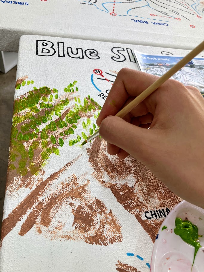
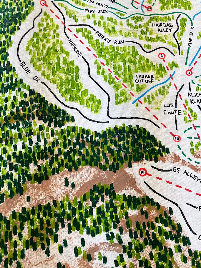
Painting was done starting with a base brown layer, followed by 3 different shades of green for the trees, background, and sky.

9

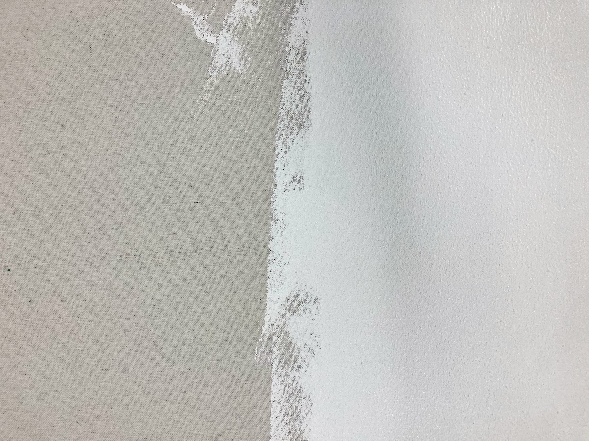
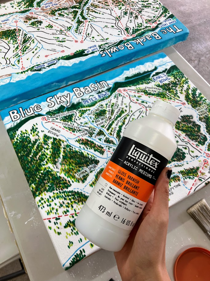
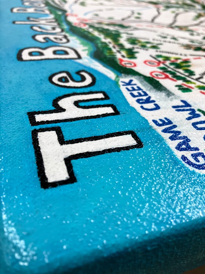
Finally, the maps were finished with two coats of glossy varnish for UV protection and touch resistance. The next image in this timeline has gloss applied on the left, the right without.

Hover or Touch the Map to Zoom In

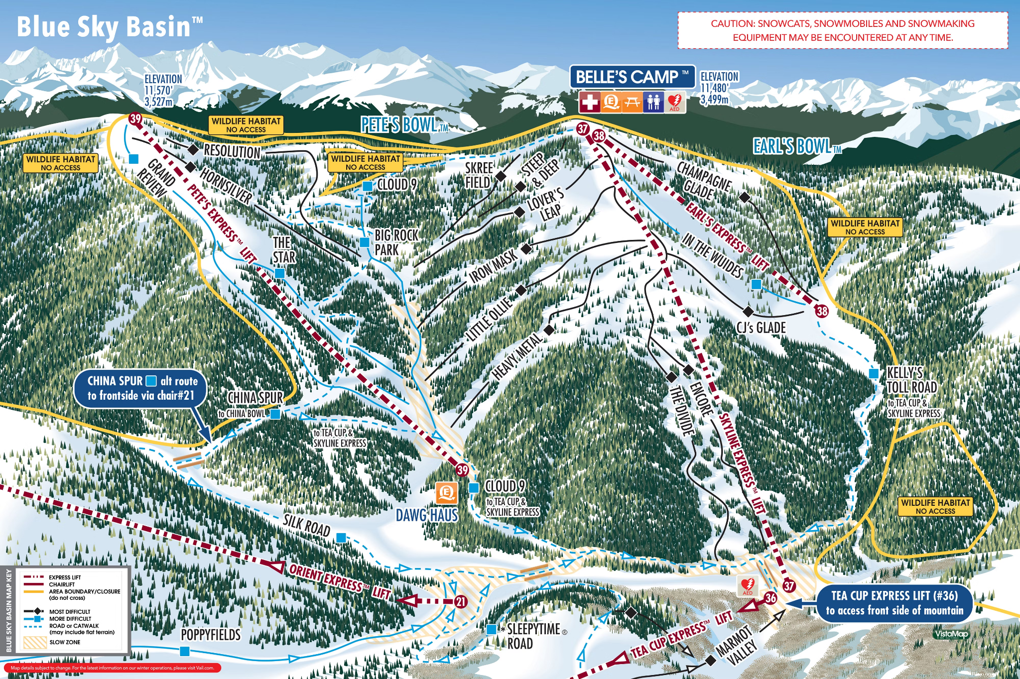
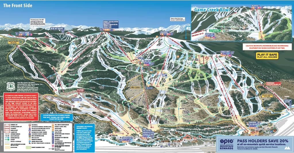
Find the Official Vail Maps which this Project Replicated at Vail.com

← Previous Project Traditional Art Next Project → Design